

Direction, RAnge, and DIStance:
DRADIS a fictional technology featured in the science fiction television series “Battlestar Galactica” that serves as a navigation, targeting, and communication system on board the series’ spacecraft.
In the series, the DRADIS system is a radar-like device that uses advanced sensors and computer algorithms to detect and track nearby objects, such as other spacecraft, asteroids, or debris. It displays this information on a screen that shows the direction, range, and distance of the detected objects, as well as other relevant data such as their speed, size, and trajectory.
The DRADIS system is also used for communication between spacecraft, allowing them to exchange information and coordinate their movements in battle. It is a crucial tool for the human characters in their fight against the robotic Cylons, and plays a prominent role in many of the show’s action scenes and plot developments.
Although DRADIS is a fictional technology, it has inspired real-world researchers and engineers to develop advanced radar and sensing systems for use in a variety of applications, including space exploration, military operations, and autonomous vehicles

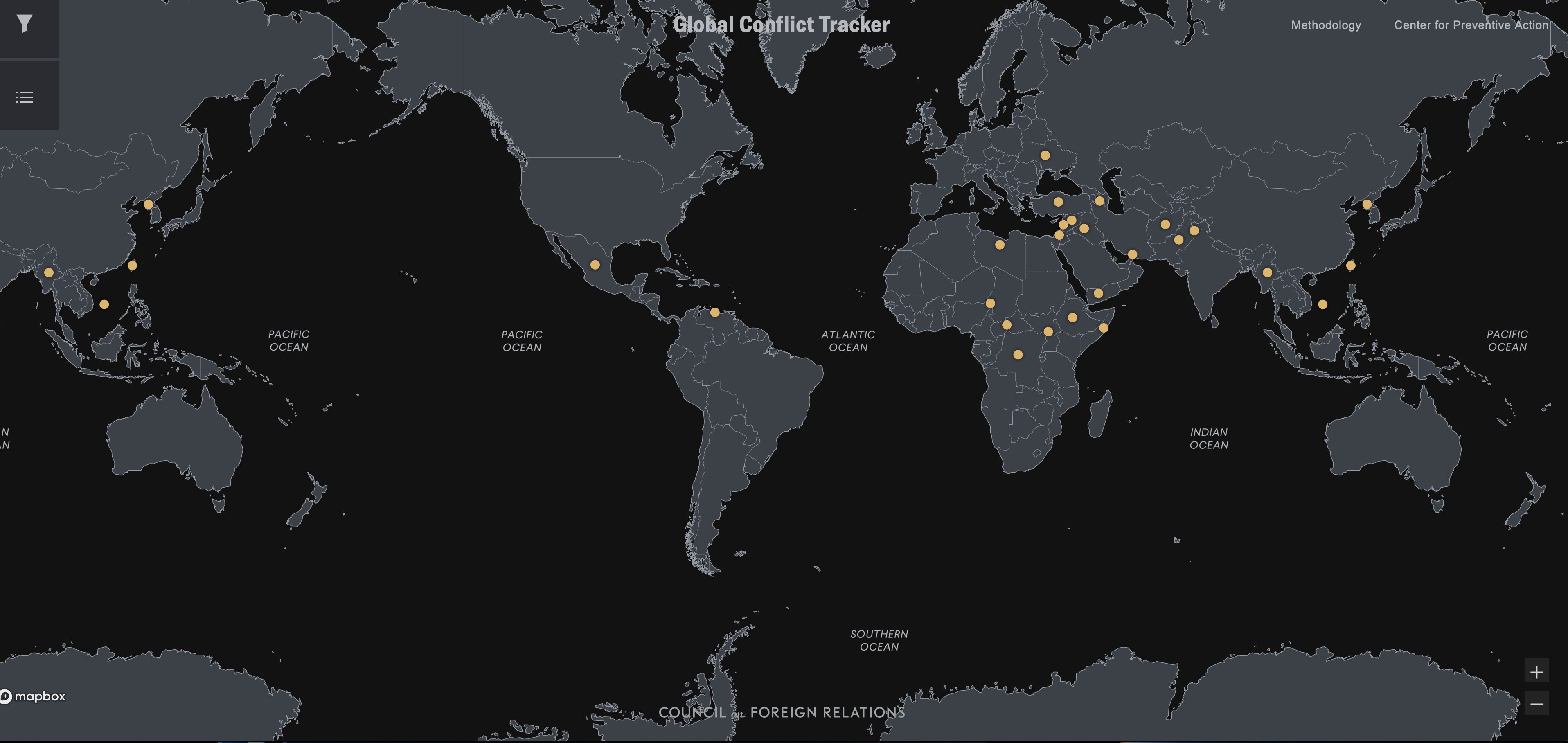
DRADIS is a technology featured in science fiction that is used to track spacecraft and targets. However, a similar technology could be used to scan world maps for hotspots and track global crises, such as disease outbreaks, political conflicts, and natural disasters.
To make this technology work, real-time data from a variety of sources would need to be collected, including news outlets, social media, and sensors on the ground. Advanced machine learning algorithms would then be used to analyze this data and identify patterns and trends.
With a DRADIS-like capability, world maps could be scanned for hotspots and global trends could be visualized in real-time. This technology would be particularly useful for tracking the spread of diseases or the movement of refugees and migrants.
Decision-makers could use this technology to respond quickly to global crises. By staying informed about global trends and events, they could take action to address these crises and prevent them from becoming even more severe.
In conclusion, a DRADIS-like capability to scan world maps for hotspots could be a powerful tool for detecting and responding to global crises. Real-time data collection and analysis would be essential for making this technology work, but the potential benefits for decision-makers would be significant. By using this technology, decision-makers could stay informed about global trends and events and take action to address crises as they arise.